 to add an item to your Itinerary basket.


Rising 430 metres above sea level on the south side of Dartmoor is the source of the River Erme. The river then flows for 15 miles past Ivybridge, Ermington and Mothecombe until it reaches the sea in Bigbury Bay.
The River Erme rises at Erme Head, on the southern hills of Dartmoor National Park. The area is also home to several other major Devon rivers including the River Plym, the River Yealm and the River Avon.
As the river makes its way off the moors it flows southwards passing several key sites of interest including extensive early tin mining workings and some of the best-preserved archaeological remains on the moor, including the Upper Erme stone row, the longest on Dartmoor, and Erme Pound, a prehistoric settlement.
It also passes through a gorge it has cut between Stalldown Barrow and Piles Hill. On the eastern bank of the gorge is Piles Copse which is one of the few areas of ancient woodland on Dartmoor and a Site of Special Scientific Interest. Before it leaves the moors at the town of Ivybridge it flows through the moorland village of Harford.
The town of Ivybridge sits at the most southerly edge of Dartmoor, boarded by the National Park on one side and the A38 on the other. The river flows through the centre of Ivybridge where, in the 16th century mills were built to use the Erme’s current to generate power. Until the 1830s the small 13th century hump-backed bridge, which is covered in ivy, was the only means of crossing the river for people travelling from Exeter to Plymouth, and it’s this bridge which gave the town its name. The bridge was also the inspiration for the J. M. W. Turner painting ‘The Ivy Bridge’ after he spent two years in Devon in the early 1800’s.
The river then continues southward where it passes the village of Ermington and its famous crooked church spire. Shortly after Ermington the river is crossed by the A379, which runs from Modbury to Yealmbridge, at Sequer’s Bridge, the Erme then flows over a weir and becomes tidal.
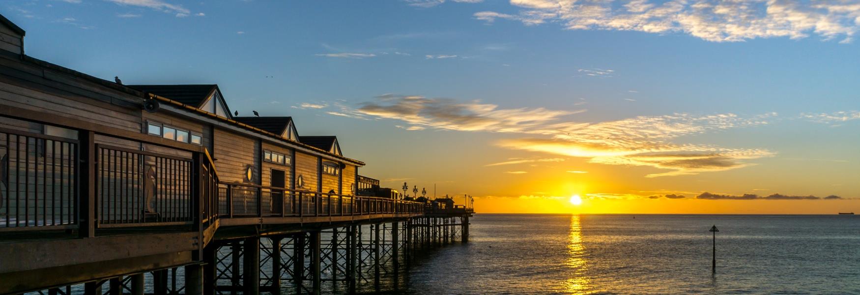
One of the final settlements the river passes is Holbeton, it is to the east of the village that the Erme becomes a ria with extensive areas of salt marsh and mud that are uncovered at low tide. The River Erme reaches the sea in Bigbury Bay between Mothecombe and Wonwell beaches, with the River Avon to the south and River Yealm to the north.
Either side of the estuary mouth runs the South West Coast Path. There are no ferries along the river’s length or bridge near the mouth, but it is possible to wade across the river between the slipways at Wonwell Beach on the east side of the estuary and Coastguard's Beach and Mothecombe Beach (also called Meadowsfoot Beach) to the west, for an hour either side of low tide. There are information boards which provide advice and details on making the crossing which can be found at the top of each slipway.
The Erme Estuary lies within the South Devon Area of Outstanding Natural Beauty and due to its diverse flora and fauna, is also a Site of Special Scientific Interest (SSSI). The estuary is surrounded by the Flete Estate, which has a number of self catering cottages available for holidays in the area.
Related
Comments
Comments are disabled for this post.