 to add an item to your Itinerary basket.


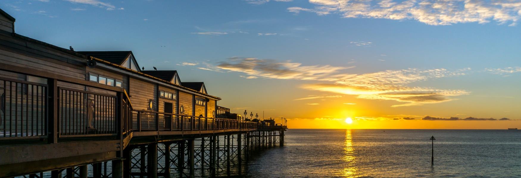
-blog.jpg) One of South Devon’s main rivers is the River Teign; it runs for 31 miles carving a backwards letter S in the landscape from the wilderness of Dartmoor to the coast at Teignmouth, passing through towns, villages and stunning countryside on its way to the sea.
One of South Devon’s main rivers is the River Teign; it runs for 31 miles carving a backwards letter S in the landscape from the wilderness of Dartmoor to the coast at Teignmouth, passing through towns, villages and stunning countryside on its way to the sea.
As an essential part of the areas development, influencing both the landscape and industry, we wanted to celebrate this vital waterway. Keep reading below to find out about the route of the river, the communities it passes through and the impact it’s had on South Devon.
The River Teign
The river starts its life on the heights of Dartmoor National Park and has two separate sources. The North Teign rises at Teign Head and is the large of the two sources and the shorter South Teign, rises near Grey Wethers and flows through Fernworthy Reservoir before joining with the North Teign at Leigh Bridge, near the village of Chagford.
From here the River Teign is joined by the Two Moors Way, a 102 mile waymarked footpath reaching from Ivybridge at the south of Dartmoor to Lynmouth, Exmoor, on the North Devon Coast. Together they descend the eastern slopes of the moor flowing south of Castle Drogo, which was the last castle to be constructed in England between 1911 and 1930, in a steep-sided valley and then through Whiddon Wood. The river and the footpath continue to travel easterly through some of the area’s most enchanting landscapes, until it meets the 16th century Fingle Bridge and then Fingle Woods. After Fingle Woods the River Teign reaches Dunsford Nature Reserve, at the southern end of the reserve the footpath ends as it reaches the road to the north and the river reaches the eastern edge of the National Park where it turns south.
As the river journeys south, it runs along the eastern edge of Dartmoor National Park, in an area known as the Teign Valley. Here the river is joined by water from Canonteign Falls, England’s highest waterfall with a 70 meter drop, before it passes by a number small villages and hamlets including Christow, Lower Ashton and Teign Village. It then travels past its first major town, Chudleigh, on its journey to the sea. The river skirts the town close to the route of the A38 before passing Chudliegh Knighton on its west and joining its first major tributary the River Bovey.
The river then passes through Teigngrace and Teign Bridge, which until 1827 was the furthest downstream bridge before the Shaldon Bridge was opened, before making its way past the two largest settlements on its voyage. Kingsteignton and Newton Abbot are separated by the river, sitting either side of its banks. It is here that the River Teign joins the last two of its main tributaries, the River Lemon and the Aller Brook, before it turns east and heads towards the coast.
After Newton Abbot the river widens to form the Teign Estuary and becomes tidal, here you’ll find mud flats which stretch for around 5 miles and are visible at low tide. To the north the estuary passes Bishopsteignton, one of the many villages which took its name from the river, before reaching the English Channel between the village of Shaldon to the south and the town of Teignmouth to its north. The two resorts are linked by both the Shaldon Bridge but also by a historic passenger ferry which is said to be one of the oldest in England.
Tributaries
The River Bovey
The River Bovey is the first, and largest, of the three main tributaries to the River Teign, they meet about a mile south of Chudleigh Knighton in a relatively flat area known as the Bovey Basin. An area that is famous for its valuable deposit of ball clay which is mined in the area right up to the edge of Newton Abbot.
The River Bovey, rises on the eastern side of the moors not far from the source of the Teign and has two main tributaries; the Becka Brook which starts life near Hound Tor and flows through Becky Falls and the Wray Brook which rises north of Moretonhampstead and joins the Bovey south of Lustleigh.
The River Bovey passes through several towns and villages including North Bovey and Bovey Tracey which both take their names from the river, as does the luxury hotel Bovey Castle.
The River Lemon
The River Lemon is the next major waterway to meet the River Teign. This 9.9 mile river rises further south on Dartmoor than the Teign and Bovey, near to Widecombe-in-the-Moor and Haytor. The river is joined by several smaller rivers and passes through the village of Bickington before reaching the area of Newton Abbot. Here it flows through the woods in Bradley Valley and past medieval Bradley Manor and towards the centre of the town.
As the river reaches the town it flows through a 400 meter long tunnel below the town centre before reappearing on the north east of the town and then joining with the River Teign at Newton Abbot Quay.
Aller Brook
The last main tributary to join the River Teign on the outskirts of Newton Abbot, just as the river becomes an estuary, is Aller Brook.
Aller Brook starts its life on the northern edges of Torquay and flows for half a mile past the village of Kingskerswell before reaching Newton Abbot. The brook originally took a meandering route from here through marshlands but in the 1980’s it was diverted in to a straight channel which runs alongside the A380, through an area which is now a nature reserve, to where it meets the estuary at the Templer Way footbridge.
Industry
Throughout its history the river has played a key role in many industries and is still an important part of the area.
Before its closure in 1967 the single track branch line, called the Teign Valley Railway, ran close to the river from Christow to Newton Abbot. The entire length of the line connected Heathfield to Exeter and served both the local mining industry and offered a passenger service.
The River Teign is connected to two disused canals which were both used to transport ball clay to the port at Teignmouth. The first, and longer, being the Stover Canal, which heads away from Newton Abbot toward Teigngrace. The canal was built by James Templer in the 1790’s and stretched from Ventiford to Jetty Marsh. It not only served ball clay mining but is also part of the Haytor Granite Tramway, built in the 1820’s, which carried granite from Dartmoor, to the canal, on the route now celebrated by the Templer Way, an 18 mile waymarked walking trail. The second canal was the Hackney Canal which connected the river to a ball clay quarry in Kingsteignton; this canal was only 0.6 miles in length.
Between 1898 and 1974 the Newton Abbot power station used the River Teign to draw its cooling water; this water was discharged back into the River Lemon before it joined the Teign.
At the river mouth you’ll find the port of Teignmouth which has been an important port in the area for the exportation of not only ball clay and granite but also limestone for over 300 years. The port is still busy today with its main export still being clay and the town is also a bustling holiday resort with smaller pleasure crafts visiting and watersports taking place in the estuary mouth. Due to Shaldon Bridge, only boats less than 2.9 metres and with shallow drafts can reach the upper part of the estuary which is navigable up to Newton Abbot.
The river and estuary mouth is also a rich source of food, many of the river banks are lined with farm land where seasonal fruit and vegetables are grown, but you’ll also find a vineyard close by with stunning views across the river. One of the rivers finest cuisines is its shellfish; both musses and oysters are harvested from the river bed and are served in many of the local restaurants, cafés and pubs.
Make sure to like our Facebook page here and follow us on Twitter here where we’ll keep you up to date with the latest blog posts, competitions and more.
Other Posts You Might Like
-blog small.jpg)
-blog small(1).jpg)
Related

Comments
Comments are disabled for this post.